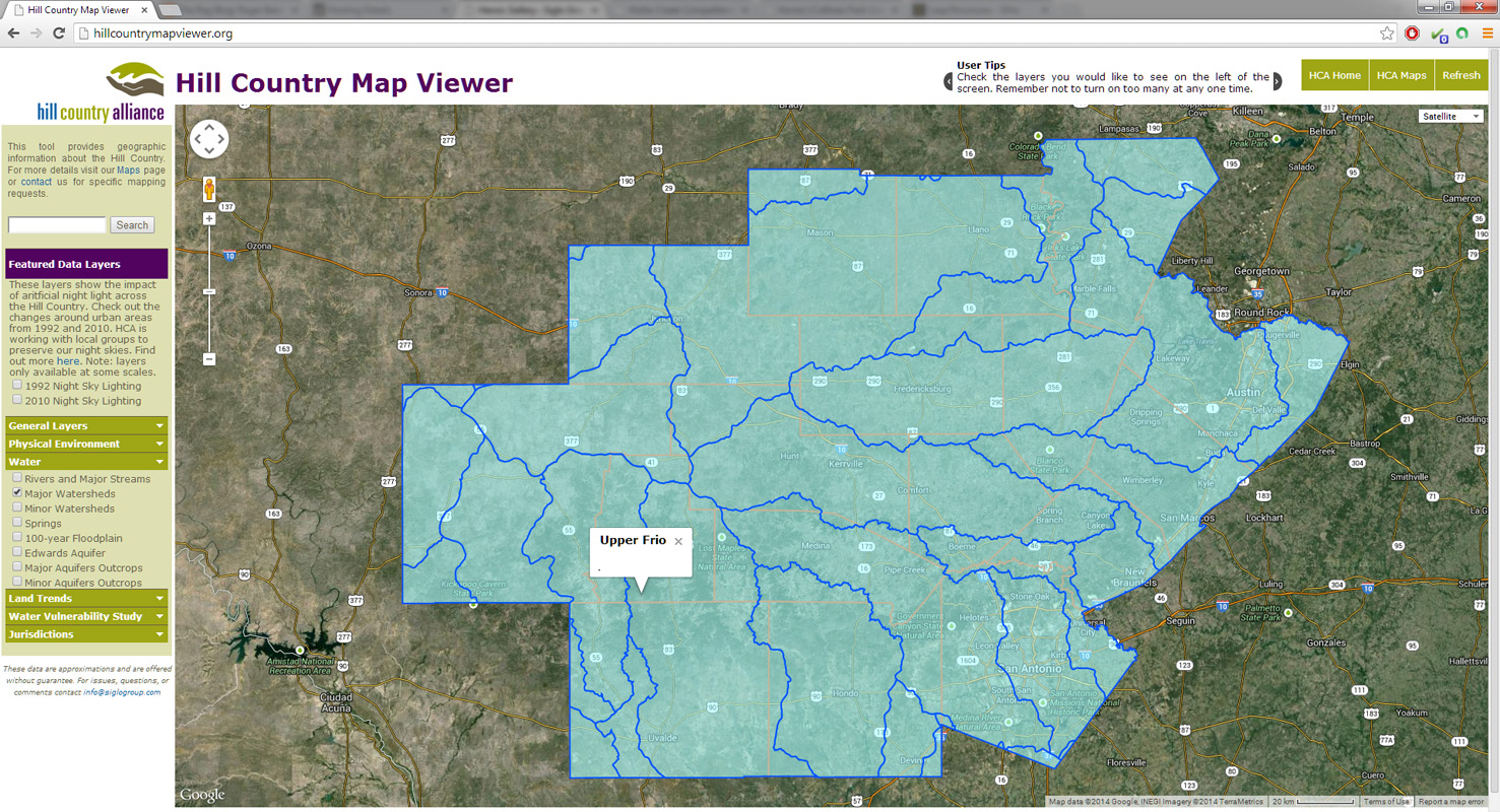
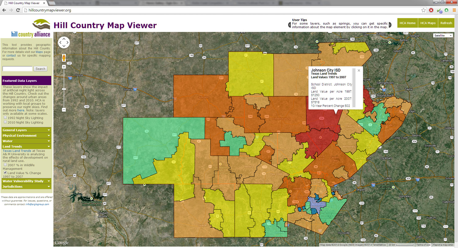
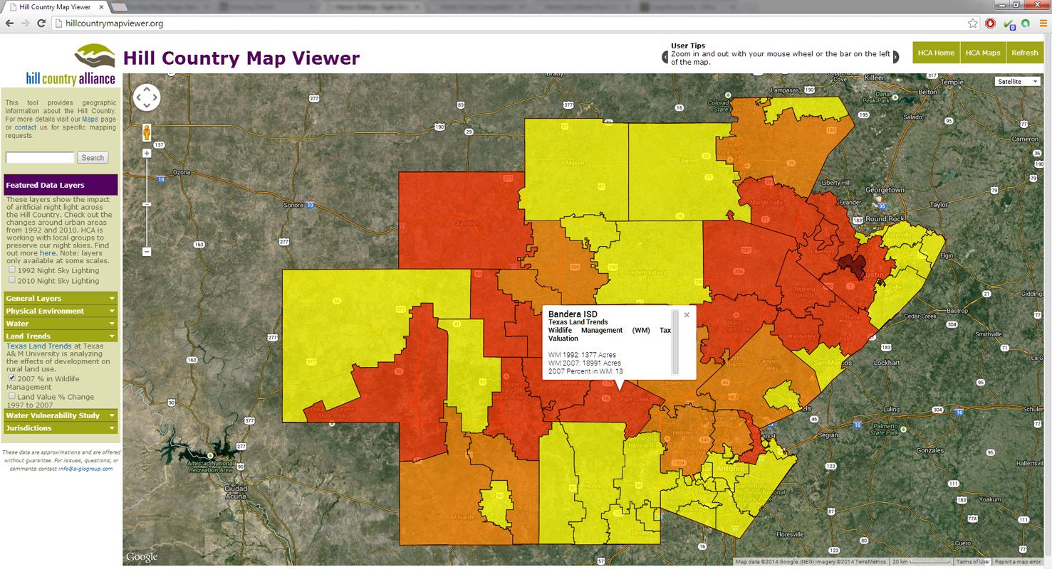
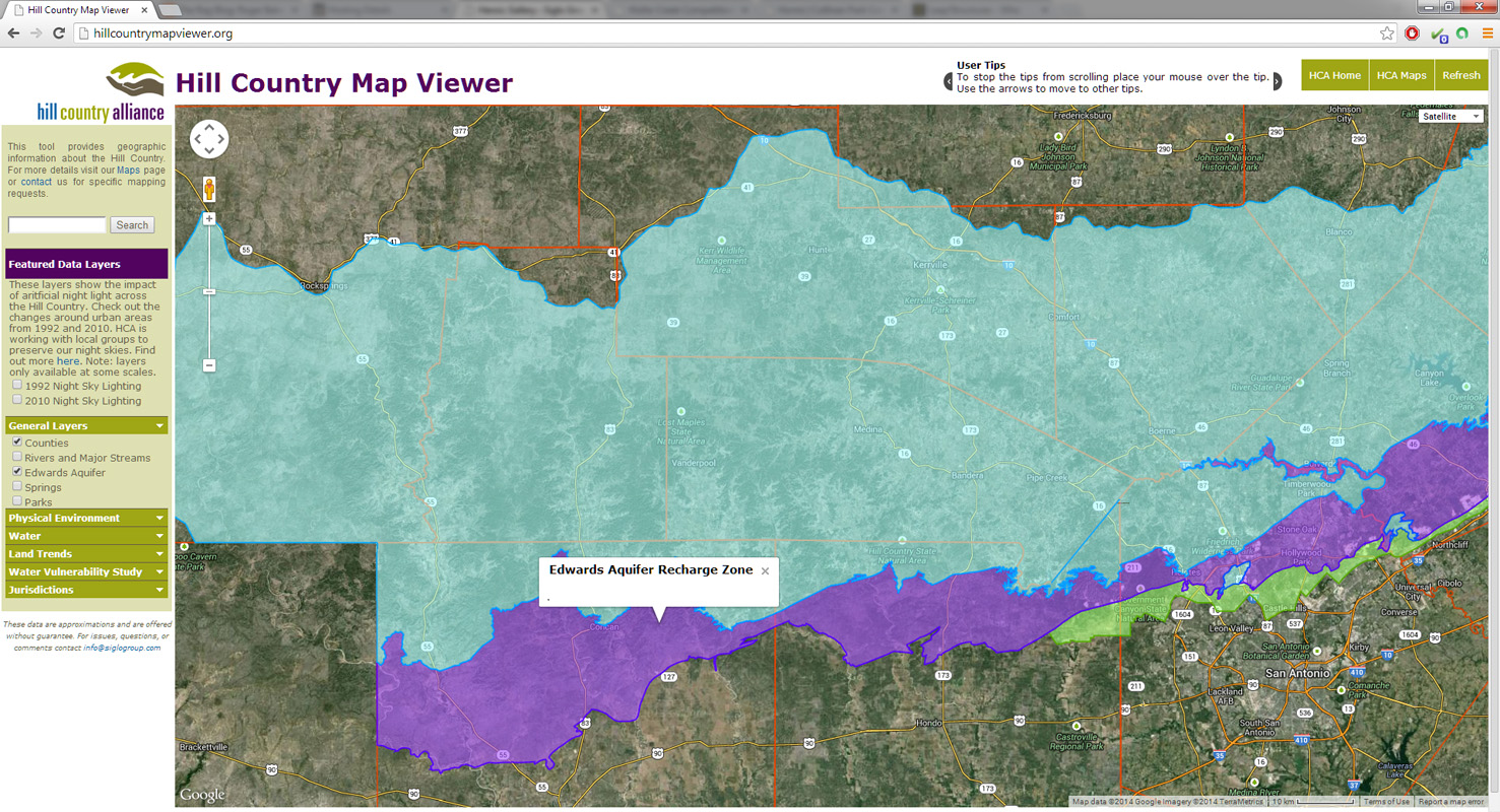
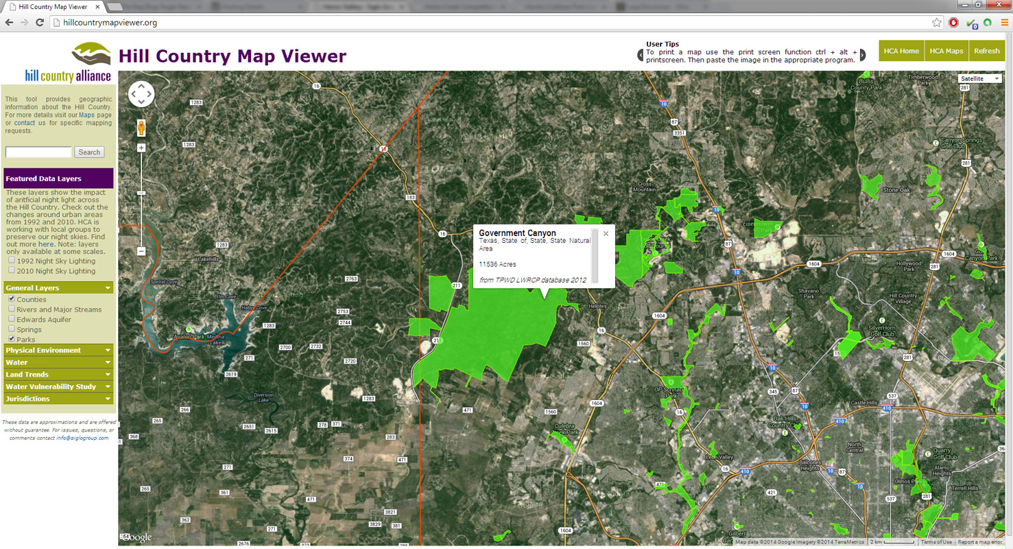
Siglo Group was asked by Hill Country Alliance to create an online mapping tool that allowed for quick, easy access to information important to people in the Hill Country. Using a Google Maps API and a straightforward user interface, the Hill Country Map Viewer is able to deliver information about a 17 county area. People can check out which watershed they live in, where local springs are, and see how land values have been changing over the years. The map viewer can be seen at hillcountrymapviewer.org.
Related Galleries
-
Hill Country Geography
Siglo Group created maps of Hill Country planning trends, development, land use, water resources, land values, and ecological characteristics for Hill Country Alliance.
-
Wilbarger Creek Conservation
Siglo Group conducted watershed and conservation planning in the Wilbarger Creek watershed for the Wilbarger Creek Conservation Alliance, Hill Country Conservancy, and Texas Land Conservancy. The...
-
Waller Creek Competition
Siglo Group had the honor of participating on the Lake|Flato, Turenscape Team in the international Waller Creek Conservancy Design Competition. We were one of four teams...
-
STAR Sustainability Analysis
Siglo used geographic data to evaluate STAR Community Rating System sustainability metrics for the City of Austin’s Office of Sustainability. The metrics looked at green infrastructure...