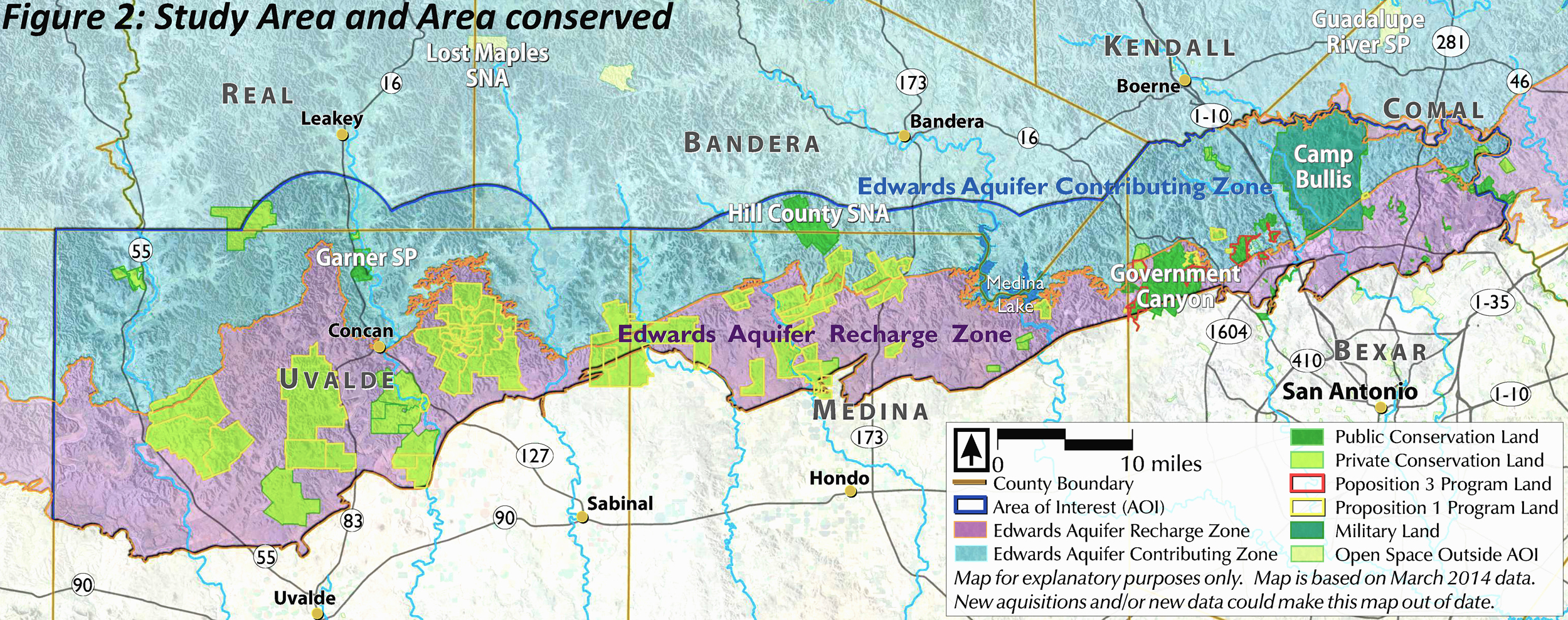
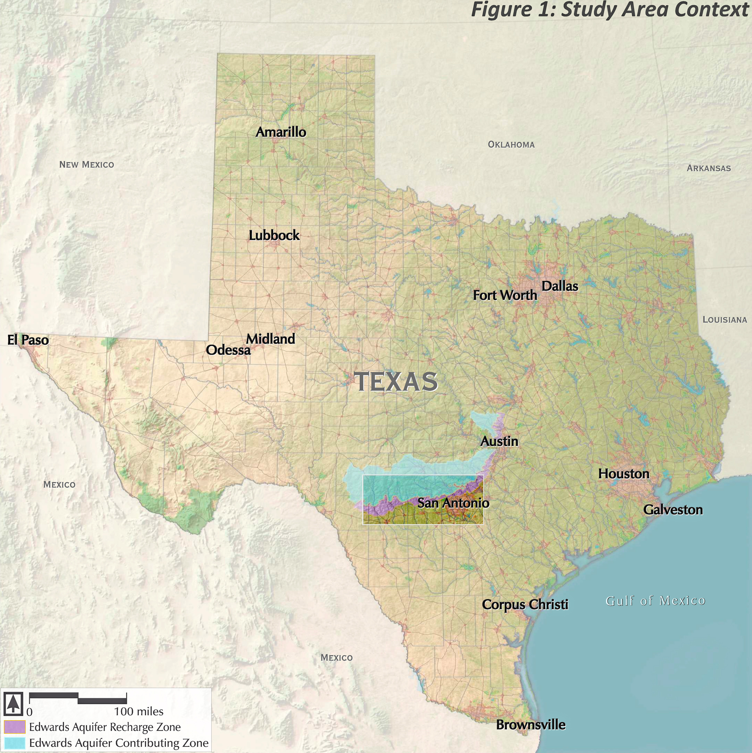
San Antonio Aquifer Protection
Siglo Group supported the City of San Antonio Edwards Aquifer Protection Program, Conservation Advisory Board, and Land Acquisition Team in determining properties for purchase and/or conservation easement to protect the drinking water supply for the City through the use of a spatial analysis. The GIS model used to determine conservation priorities includes 10 variables to evaluate an approximately 1 million-acre portion of the Edwards Aquifer Recharge and Contributing Zones. Variables include biological, permeability, adjacency, and parcel size indicators. Siglo Group’s role was to run the model, update the model as needed, increase data quality, and revise inputs as new properties were put into conservation. The efforts of the City and its partners has resulted in over 200,000 acres of land in conservation to protect the City’s drinking water supply. Please note that while numerous exhibits and analyses were produced for this report, only the overall map is displayed here due to the proprietary nature of the project.